DRONE SERVICES
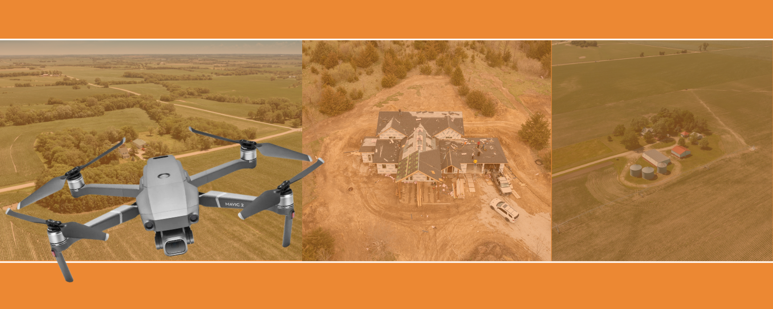
Using a UAS (Unmanned Aerial System) allows us to capture High-Definition, detailed aerial photographs so you can make informed and actionable decisions regarding your claim.

DRONE SERVICES
Using a UAS (Unmanned Aerial System) allows us to capture High-Definition, detailed aerial photographs so you can make informed and actionable decisions regarding your claim.
Aerial Photography & Fire Investigations
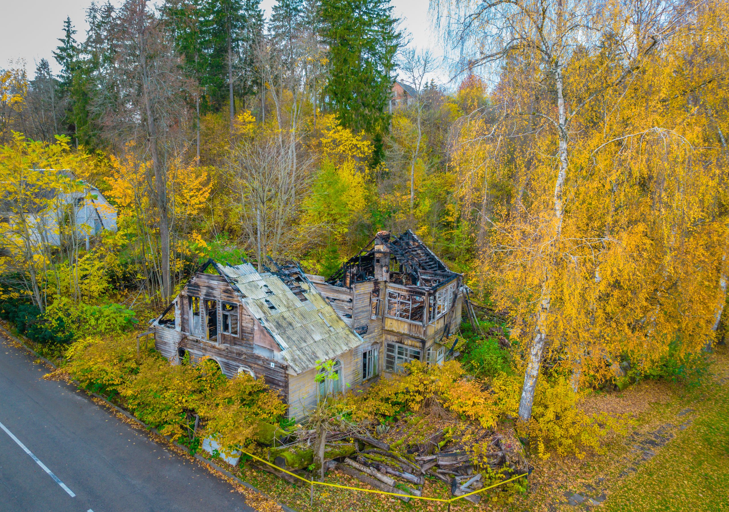
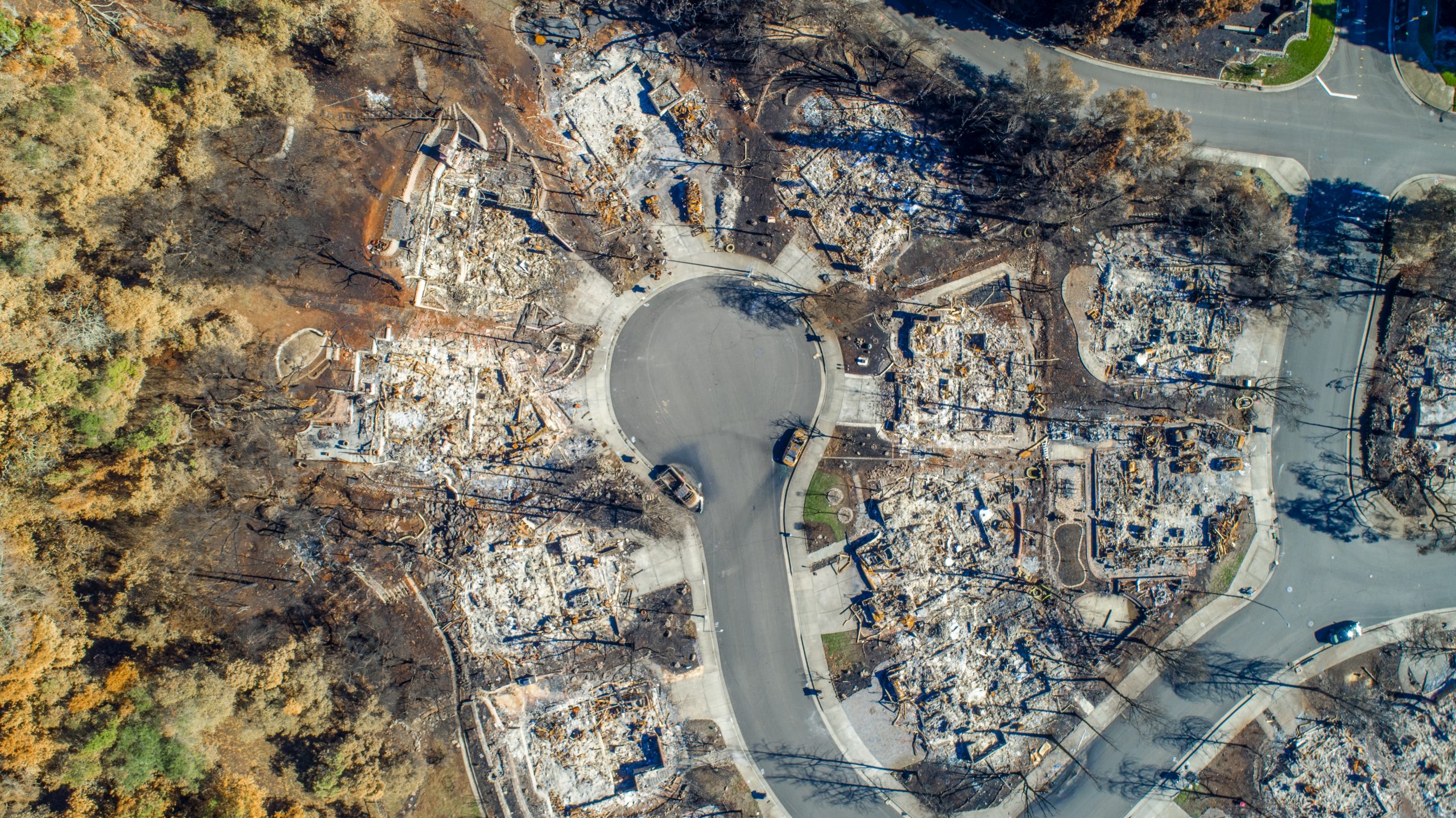
In a case where there is heavy fire damage, affected areas may not be accessible by fire investigators or claim representatives, but are easily accessed with aerial photography.
Aerial photography gives us the ability to visualize the extent of fire damage, and potential fire paths, which can be especially useful in the case of wildfires and explosions.

Benefits of Using Aerial Photography

- High-Quality Photography, 4K video
- Federally Licensed Remote Pilots
- Easily access hard-to-reach areas
- Document structural collapse or roof damage from the safety of the ground
- Capture photographs from 400ft, giving you the “big picture” view of the whole scene
- Map out the path of fire spread in a wildfire case
- Storm damage paths can be easily seen using high altitude photography

